
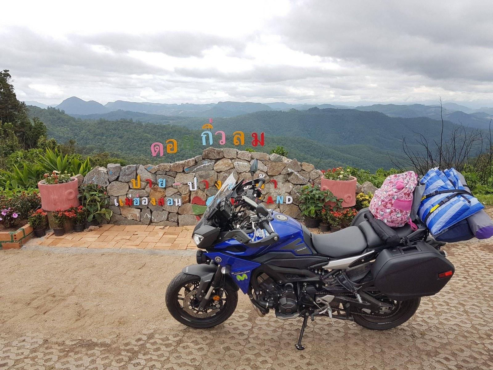
Where to Stop Between Pai and Mae Hong Son: The Essential Mountain Corridor
A practical mile-by-mile guide to the most rewarding viewpoints, river caves, mist villages, and roadside food stops along Highway 1095.
Read Field Guide7 min read
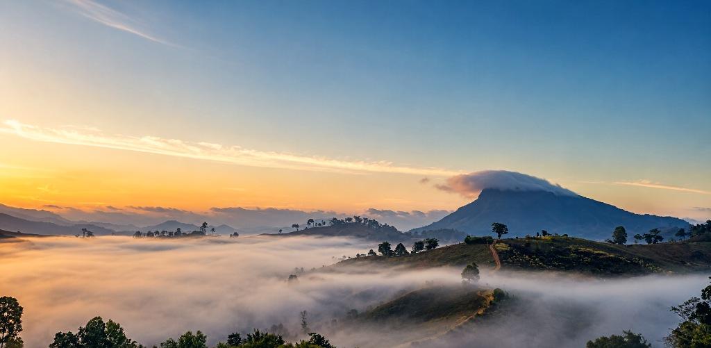
Ways of being there.
A field guide to Pang Mapha : its roads, rivers, villages, caves and the quieter places between them.
Between Pai and Mae Hong Son, Pang Mapha unfolds through mountain roads, small settlements, rivers, limestone valleys and long stretches where very little announces itself. Some places are known by name. Others are simply part of the way people move through the district.
Soppong sits near its practical center, but Pang Mapha extends well beyond the main road. Village routes climb into the hills, minor roads loop back through valleys, water appears beside the road, and everyday places gradually connect one community to another. Tham Lod and the better-known viewpoints belong to this landscape, but they are only part of it.
Not every place here has a name travelers know. Roads climb away from Route 1095, reservoirs sit quietly between villages, and some of the best parts of a day happen while returning by another road.
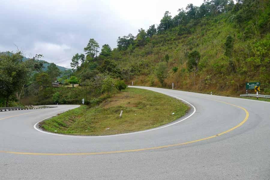
Road climbing into the western hills away from the main highway.
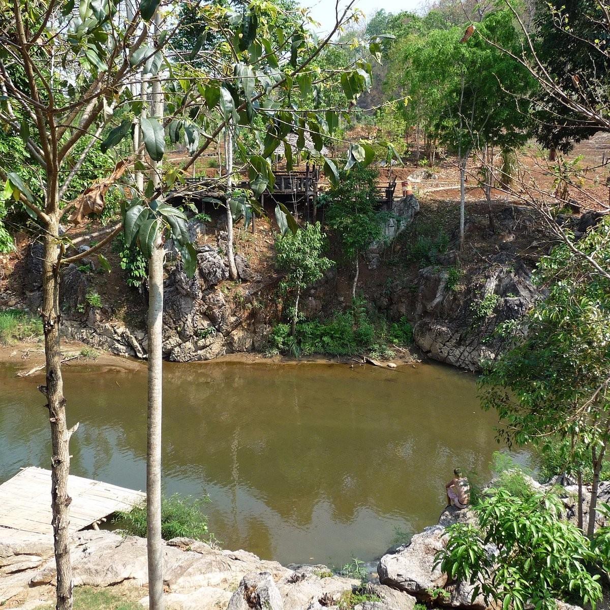
Water above the village road.
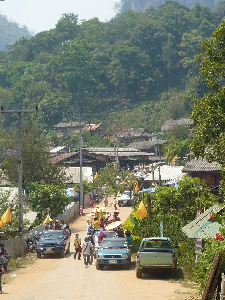
Village route through the valley.
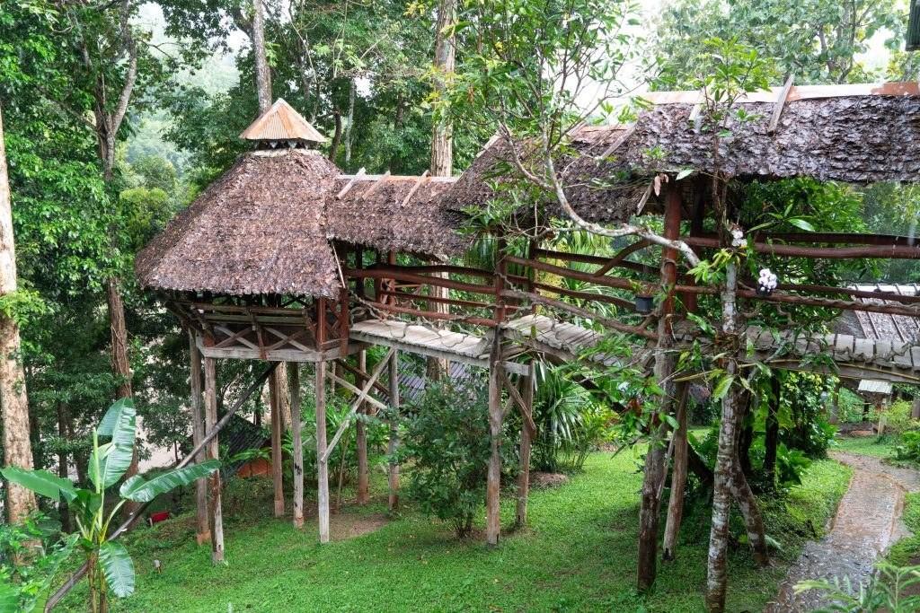
Following the water on the way back.
The smell of wet red clay, steaming limestone crags, and the sudden quiet when a mountain storm passes over the basin.
There is never only one way to experience a place. We organize the territory across six dimensions of presence.
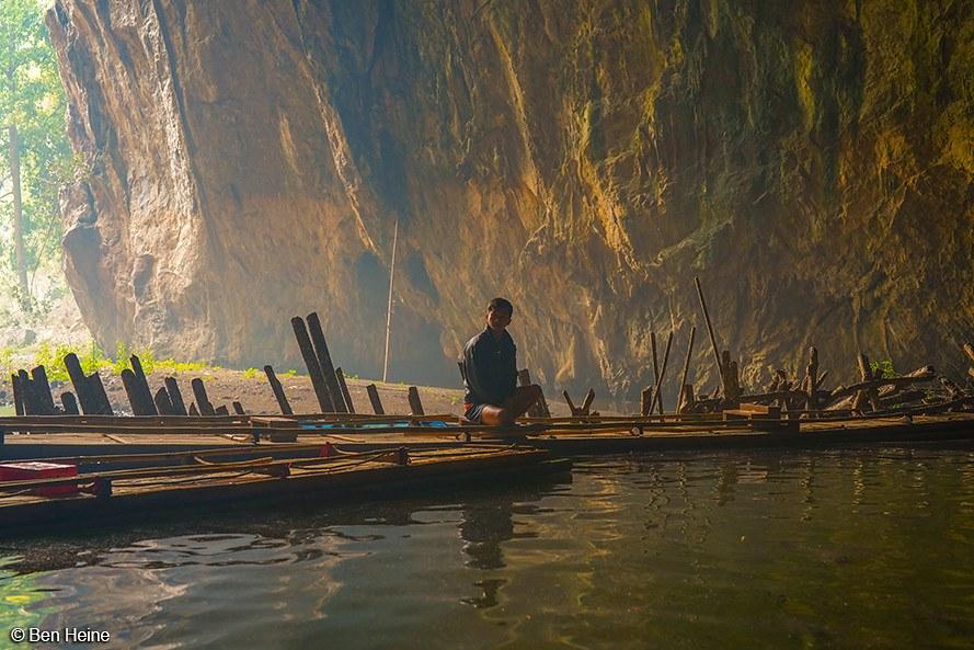 Dimension 01 · Explore
Caves, village roads, water, forest, small settlements and places that reveal themselves gradually rather than announcing themselves as destinations.
Dimension 02 · MoveNavigating the 1,864 curves of Route 1095 without rushing. Public minivans, mountain scooters, and chauffeured rides.
Not every hour needs a destination.
Leaving room for quiet recovery, local relationships, and field observations along the mountain corridor.
Route 1095 connects Pang Mapha to Pai and Mae Hong Son. Smaller roads leave it for villages, valleys, caves, water and routes that eventually find their way back.
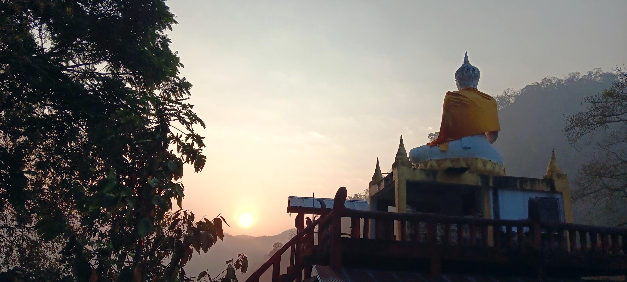 Field Observation · Sanctuary
A quiet Buddhist cave sanctuary tucked into the limestone karst forest of Ban Rai. Natural cavern halls open directly into peaceful meditation chambers beneath vertical rock cliffs far from tour bus routes.
A practical mile-by-mile guide to the most rewarding viewpoints, river caves, mist villages, and roadside food stops along Highway 1095.
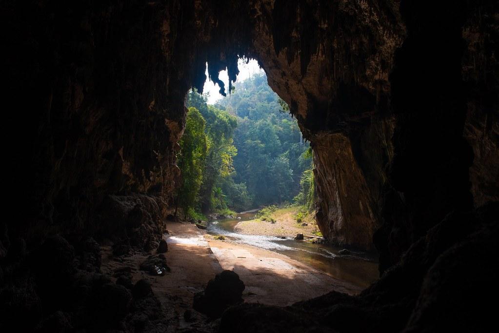
A practical introduction to Pang Mapha district: its geography, limestone river caves, highland villages, and why it forms the authentic center of gravity on Highway 1095.
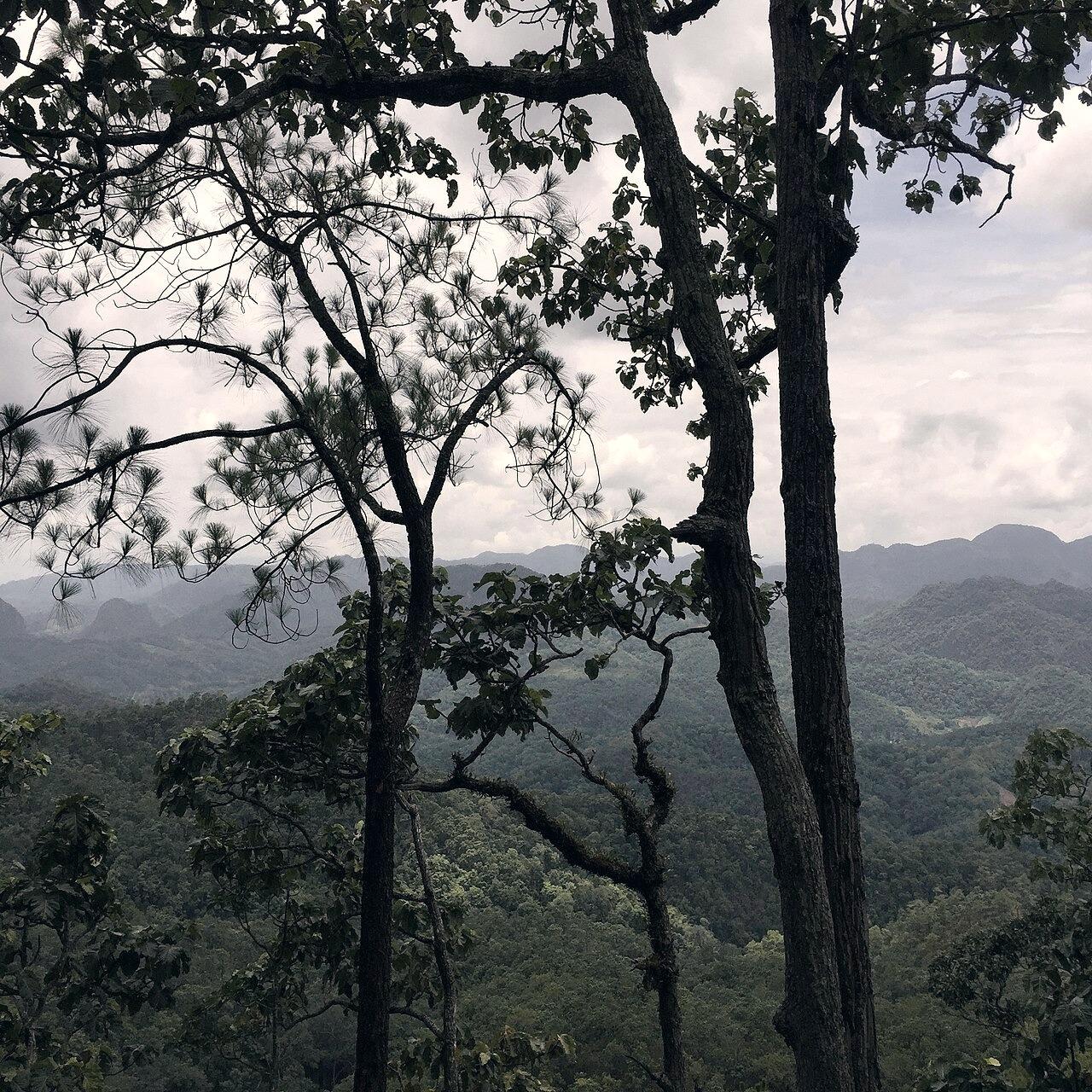
An honest side-by-side comparison of atmosphere, lodging, food, activities, and travel pace between Pai and Pang Mapha.
How to plan an unhurried day visit to Tham Lod from Pai, including morning raft navigation, lunch recommendations, and return timing.
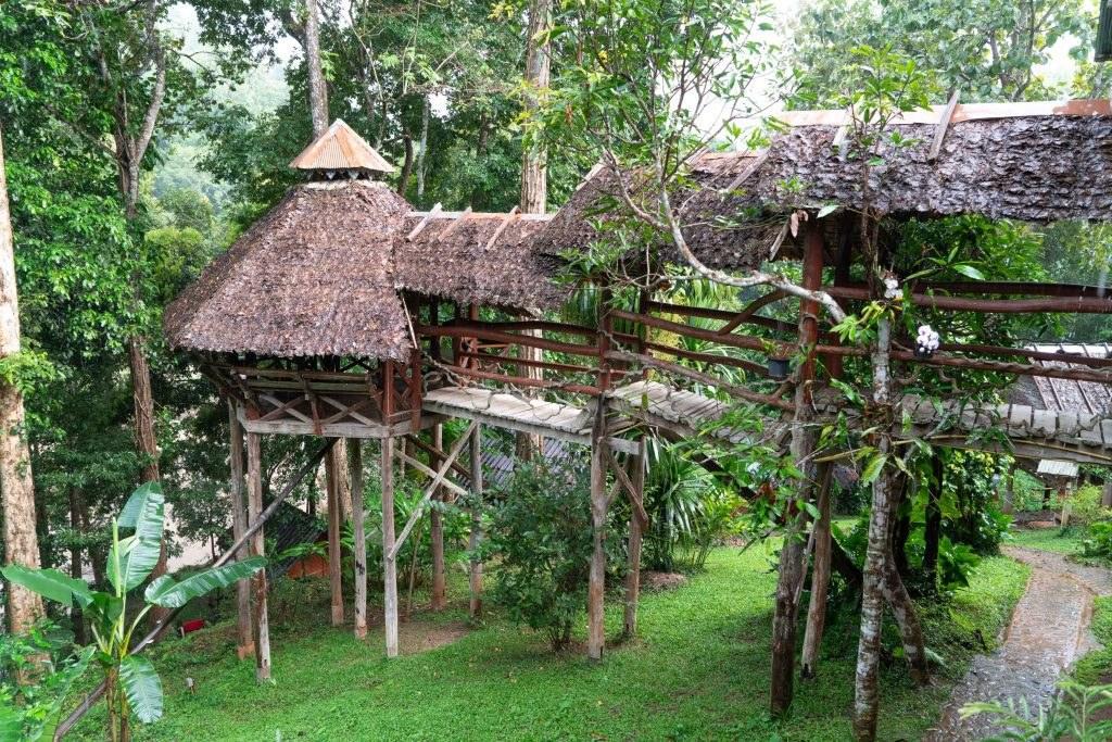 Wilderness River Eco-Lodge
The pioneer wilderness lodge of Pang Mapha, nestled on the Lang River just 1 km upstream from Tham Lod cave. Built from local timber with open-air riverside hammocks, roaring evening log fires, and unparalleled cave and trekking intelligence.
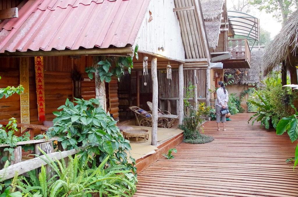 Heritage Teakwood Guesthouse
A serene teakwood sanctuary hidden behind traditional gardens on the banks of the Lang River. Features spacious teak suites with private river-view balconies, polished hardwood floors, and quiet reading terraces.
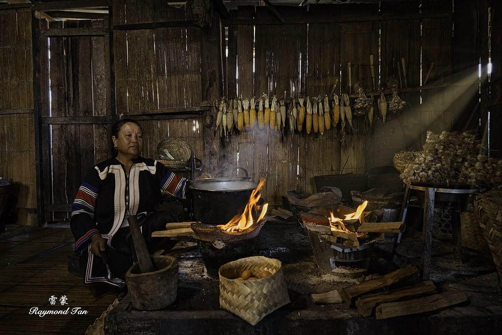 Traditional Lahu Village Homestay
Authentic community-managed homestays inside traditional stilted Black Lahu wooden homes perched along the limestone ridge. Sleep on floor futons with thick mountain blankets and share home-cooked evening dinners with host families.
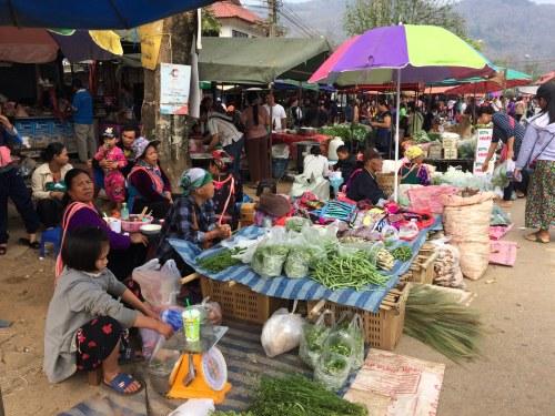 Daily Traditional Highland Market
The vibrant dawn meeting place for Shan, Lahu, Lisu, and Hmong mountain farmers bringing freshly harvested wild mountain vegetables, seasonal forest mushrooms, sticky rice parcels, and piping hot Shan noodles.
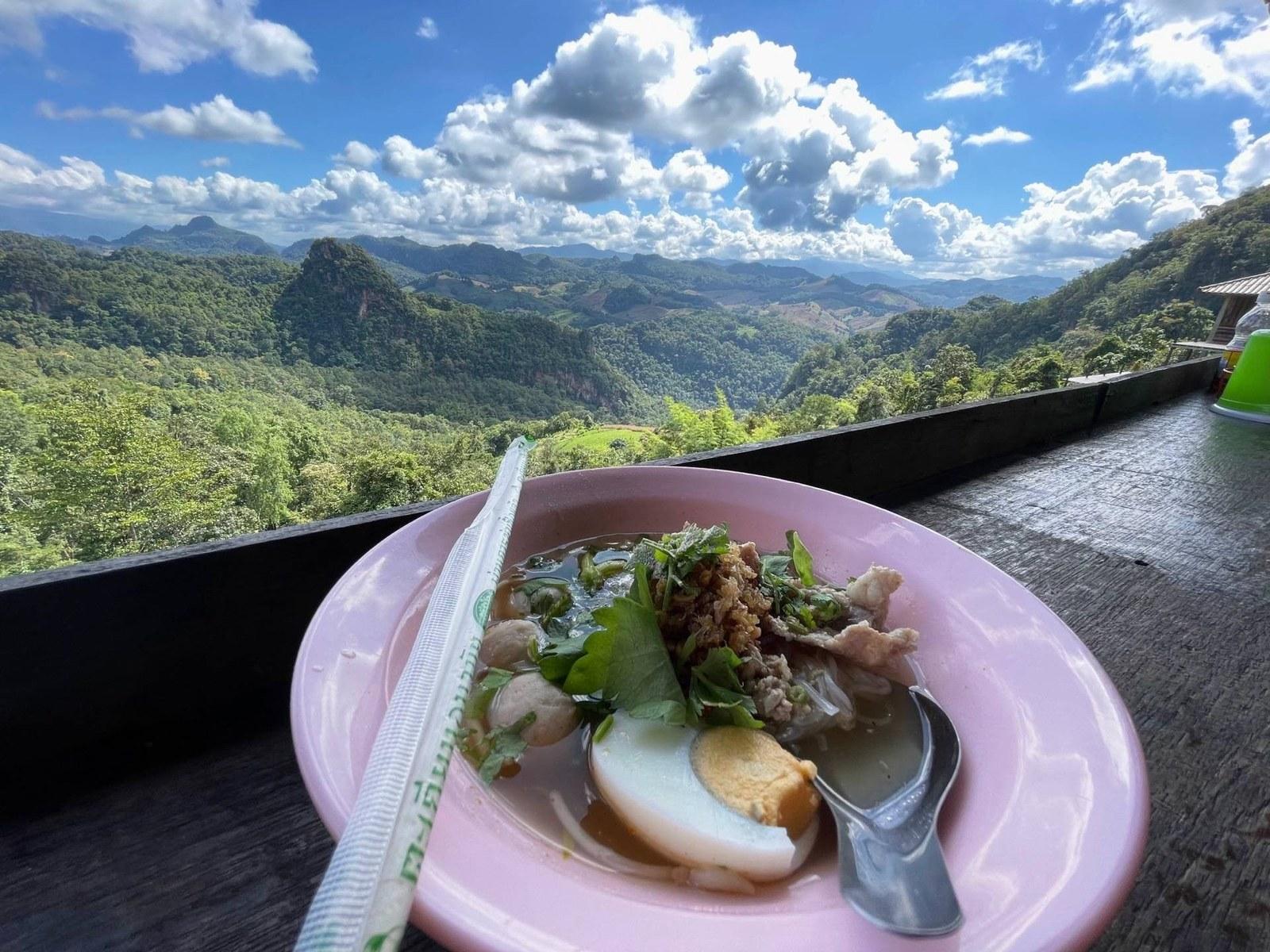 Cliffside Noodle House & Viewpoint
The famous cliffside noodle deck where guests sit on low wooden benches with their legs dangling over the edge of the limestone abyss, looking directly out over rolling mountains and sea of mist.
Local Shan Country KitchenAn open-air wooden roadside kitchen operated by a local Shan family, serving hearty freshly pounded papaya salad, chargrilled herb chicken, and stir-fried wild mountain greens straight from nearby gardens.
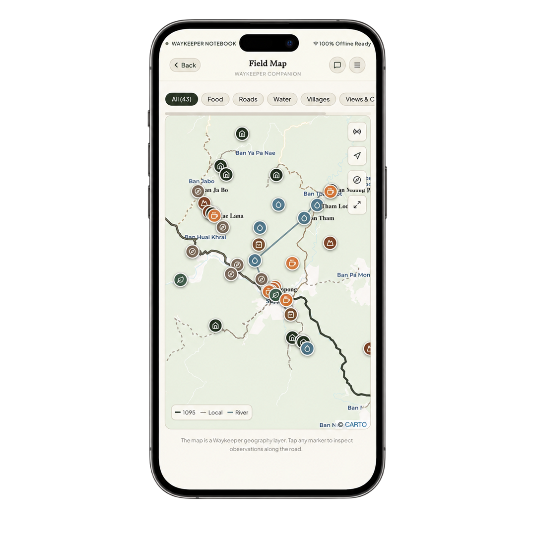
Built specifically for traveling in the mountains with limited reception. Access interactive vector terrain maps, 42 roadside field points along Route 1095, Thai 100 phonetics, and ambient audio soundscapes—even completely offline.
Questions about a road, somewhere to stay, getting around, or a place you've come across? Reach us directly on WhatsApp, Instagram or Facebook.