Territory DirectoryMae Hong Son, Thailand

Places of Pang Mapha

The towns, caves, river valleys, and mountain settlements that form our highland territory.

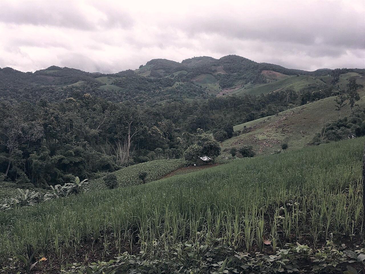
Real karst mountain landscape and valley in Pang Mapha DistrictDistrict & Karst Geography
2 to 3 days recommended for unhurried cave exploration and ridge walks.Checked: 2026-08-10

Pang Mapha District

The limestone basin and mountain corridor between Pai and Mae Hong Son.

Pang Mapha is a quiet mountain district in northern Mae Hong Son province, situated 42 kilometers west of Pai and 65 kilometers northeast of Mae Hong Son town along Highway 1095. Defined by towering karst topography, sinkholes, river caves, and Shan, Black Lahu, and Red Lahu settlements, it is the geographic center of gravity for travelers seeking quietude, cave exploration, and unhurried northern roads.
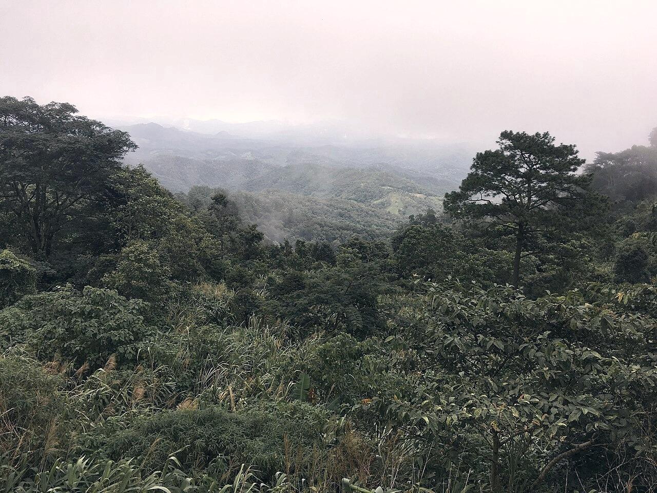
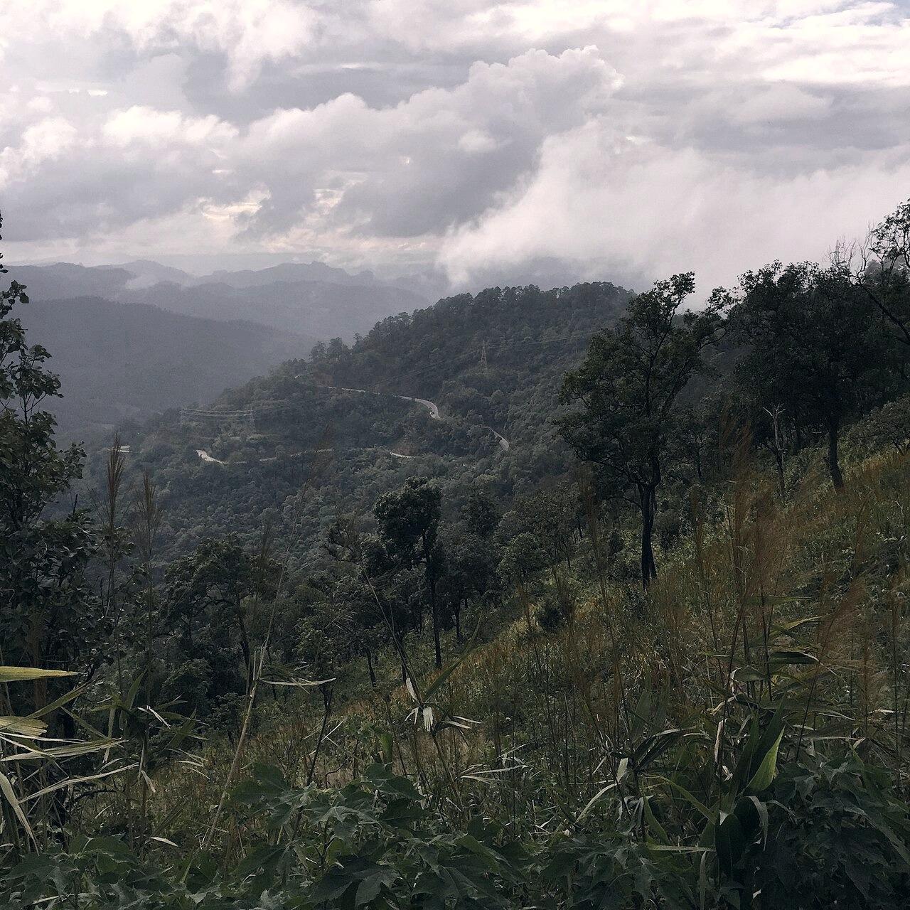
Forests and mountains surrounding Soppong in Pang MaphaMarket Town & Transport Center
Half day for market and river walks, or overnight base for cave excursions.Checked: 2026-08-12

Soppong Town

The riverside trading hub at the junction of Highway 1095 and the Tham Lod road.

Soppong is the administrative and commercial focal point of Pang Mapha. Settled at the confluence of the Lang and Nam Mae Sai rivers, it is where local hill-tribe farmers, Shan merchants, and travelers cross paths around the daily morning market, roadside noodle shops, and quiet riverside guesthouses.

Real bamboo rafts lined up at the natural limestone entrance of Tham Lod caveKarst River Cave & Sanctuary
2 to 3 hours for the full three-chamber raft and walking circuit.Checked: 2026-08-14

Tham Lod (Lod Cave)

A 1.6-kilometer limestone river cavern navigated by gas lantern and bamboo raft.

Tham Lod is one of Southeast Asia's most magnificent natural cave systems. The Nam Lang stream flows directly through the heart of the limestone mountain, carving three massive cavernous chambers: Sao Hin (Giant Pillar Cave), Tukta (Doll Cave), and Pi Man (Prehistoric Coffin Cave). Local Shan and Lahu women guide visitors on foot and on bamboo rafts using vintage pressure-gas lanterns.

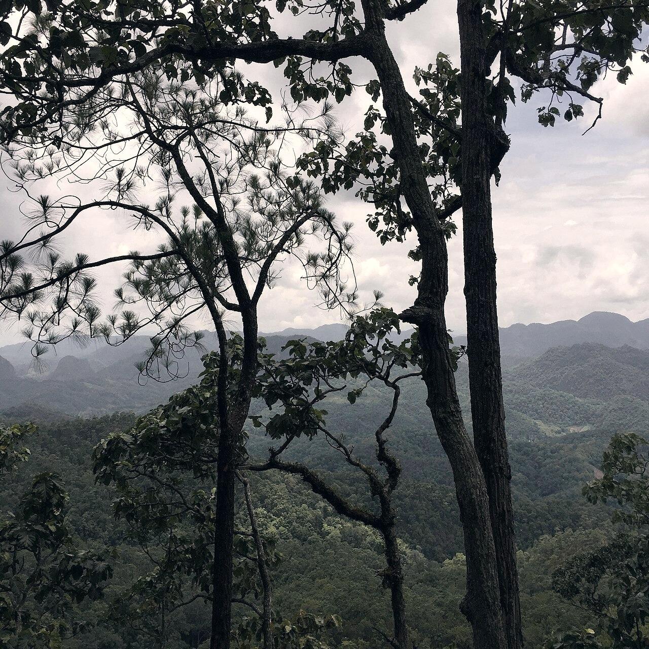
Real limestone mountain ridge and highland landscape around Ban Ja BoMountain Ridge Settlement
2 to 3 hours for morning noodles and ridge viewpoints, or overnight in a homestay.Checked: 2026-08-11

Ban Ja Bo

A Black Lahu mountain village perched along an emerald limestone ridge.

Ban Ja Bo is a traditional Black Lahu village perched at 900 meters elevation along a sheer limestone spine 15 kilometers north of Route 1095. Famous for its morning sea of mist that rolls beneath traditional wooden stilt houses and its cliffside noodle deck where guests dine with legs dangling over the precipice.

Real wooden village houses and agrarian valley in Mae LanaShan Agricultural Valley & Karst Caves
Half day or overnight at a Shan community homestay.Checked: 2026-08-08

Mae Lana

A secluded Shan mountain valley known for organic tea, karst sinkholes, and ancient traditions.

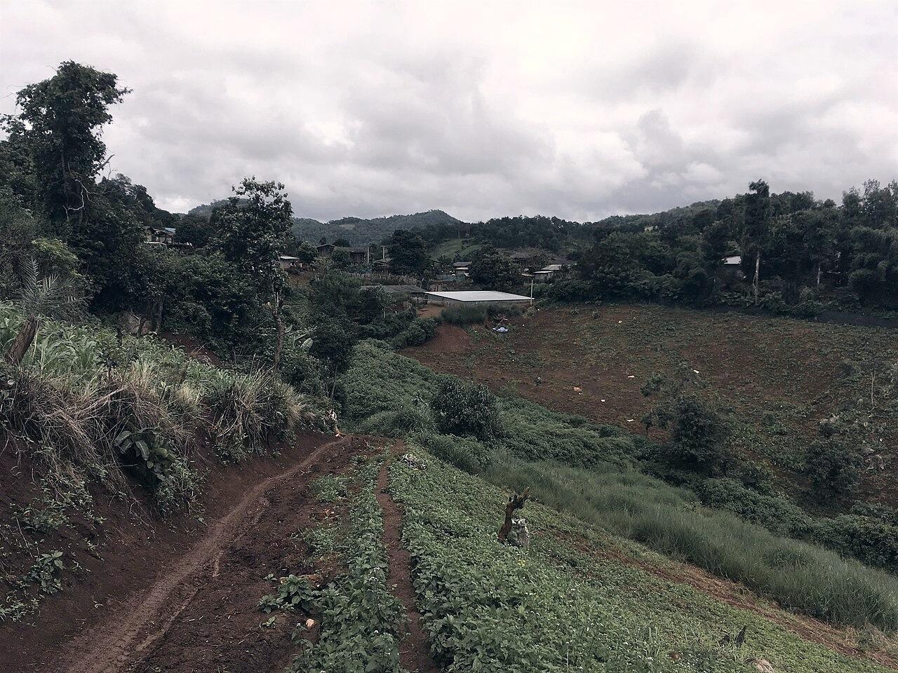
Tucked deep in a hidden karst valley 18 km northwest of Soppong, Mae Lana is an authentic Tai Yai (Shan) farming village surrounded by vertical limestone cliffs, terraced rice paddies, and extensive wild cave networks including Tham Mae Lana and Tham Coral.