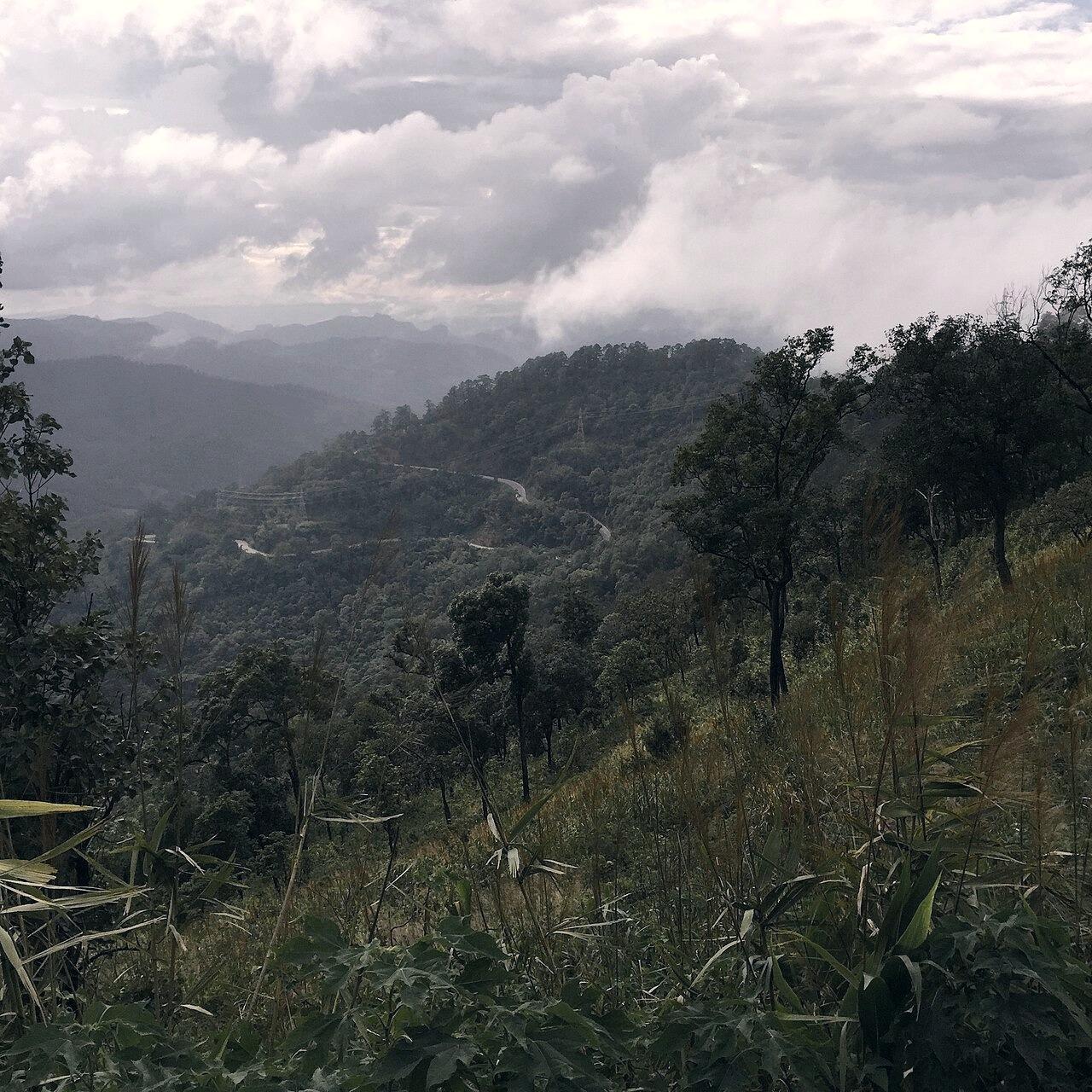
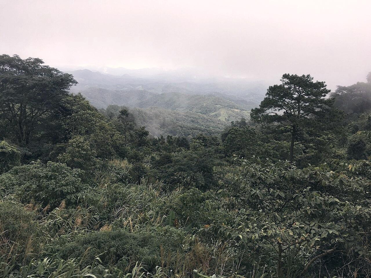
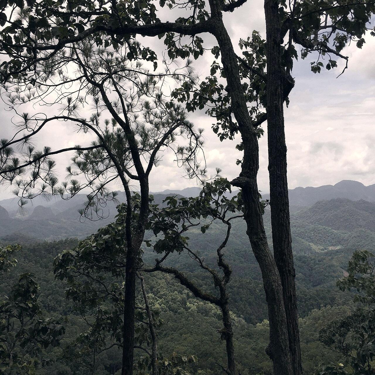
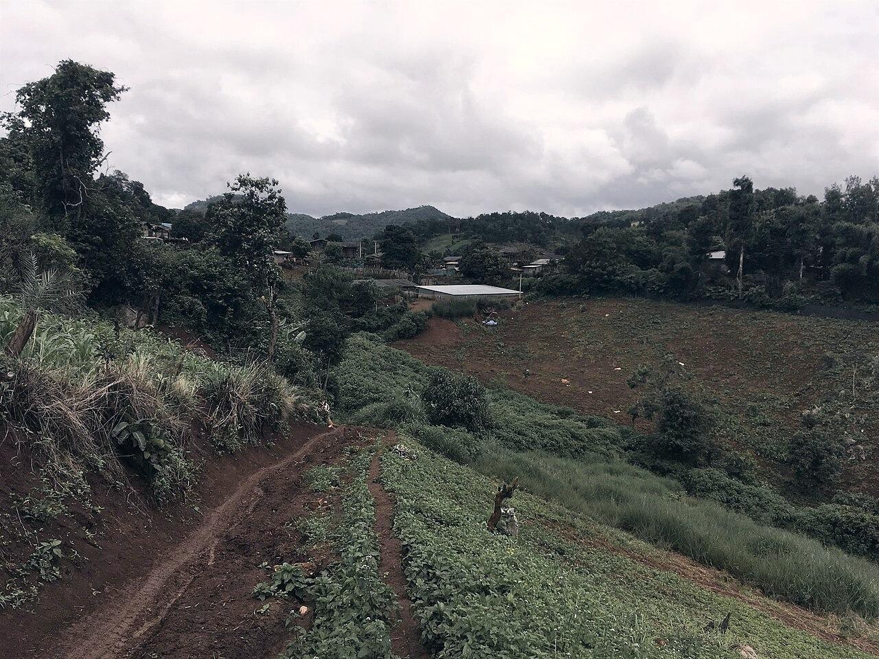
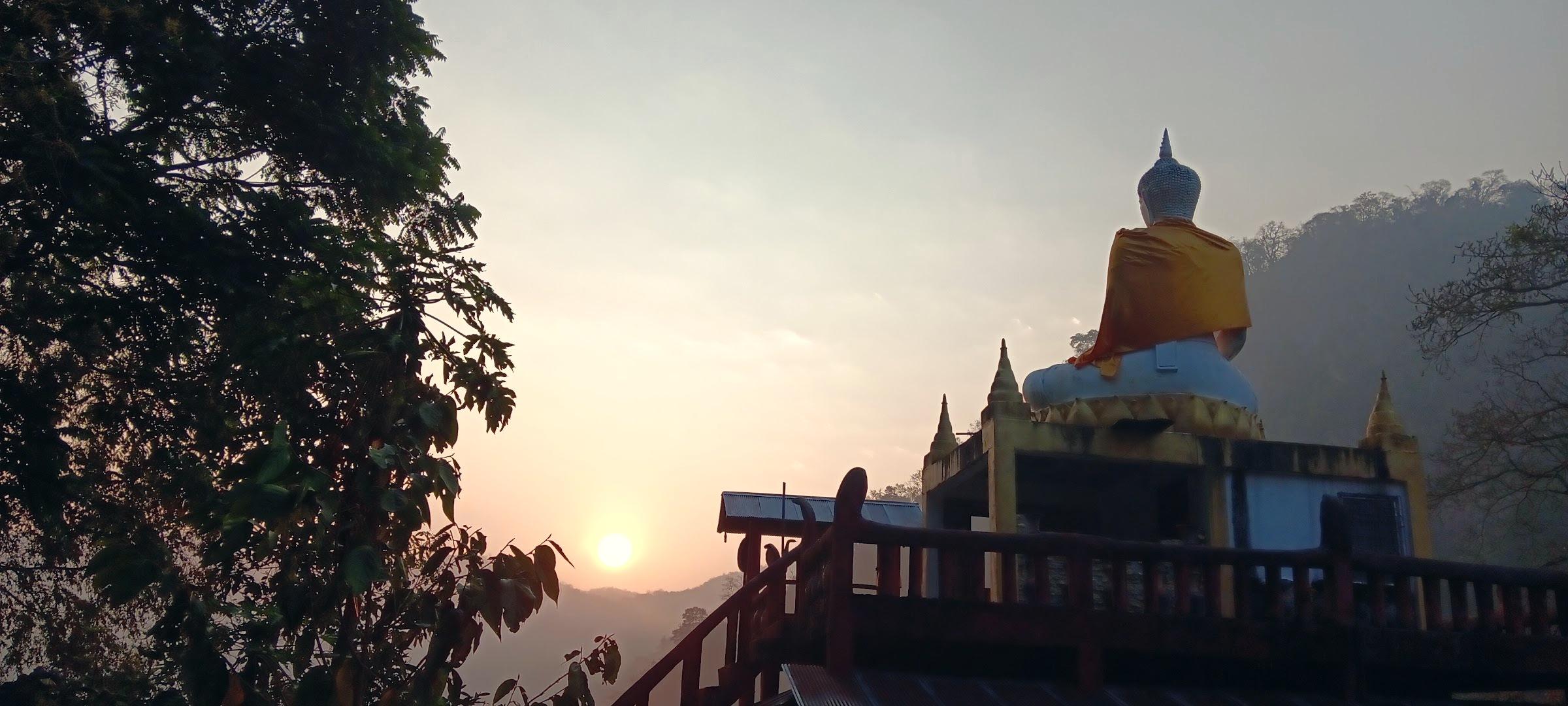
“The question is not: Is this an attraction? The question is: Does this help someone notice Pang Mapha?”
Food · Village
Auntie's Kitchen in the Community
ร้านป้าในชุมชน
A small local place people nearby stop at during the day. Simple food, no particular reason to rush.
Located just off the Tham Lod junction on the wooden veranda of a traditional family compound. Auntie Noi serves freshly pounded som tum, sticky rice steamed at dawn, and slow-simmered pork broth with wild herbs gathered from the nearby limestone slopes. There are only three low teak tables and no printed menu.
Field note: Cash only. Usually closes when the daily pot runs out around 14:00.
A small roadside stop near the foot of the hill. More useful as part of the road than as a destination of its own.
Parked beside the Route 1095 shade tree at kilometer 136 where the descent from the Pai pass flattens. Uncle Chai grills handmade pork and mushroom skewers over charcoal coconut husks. Motorbike riders and songthaew drivers pause here for hot broth and roasted chili dipping sauce before continuing to Soppong.
Field note: A convenient landmark to check tire pressure and rest your hands after the mountain curves.
Route 1095 km 136 · Verified 2026-08-14View on Map
Road · Water
Along the Nam Lang River Turn
โค้งเลียบแม่น้ำลาง
For part of the return journey the road follows the river before climbing away again.
A three-kilometer stretch of narrow tarmac where Highway 1095 dips directly parallel to the Nam Lang river bed. Giant bamboo groves lean over the asphalt, cooling the air by several degrees even at midday. During the rainy season, you can hear the river churning against limestone boulders from your vehicle.
Field note: Watch for river sand washed across the corners after sudden downpours.
A quiet piece of local geography above the village road.
Built to supply water to the lowland garlic and rice paddies between Ban Tham and Soppong. The stone weir creates a calm, emerald-tinted reflection pool backed by jagged karst cliffs. Local ducks gather along the shallows in the late afternoon.
Field note: A peaceful spot to sit under the acacia shade without any commercial presence.
A bench beneath an ancient teak porch where village tea and toasted sticky rice are shared.
Situated in the center of the historic Tai Yai village of Mae Lana. The village elders maintain a clay pot of hot wild jiaogulan and lemongrass tea on a low charcoal brazier. Visitors are welcomed to sit, pour a small earthenware cup, and listen to the afternoon breeze through the wooden eaves.
Field note: Leave a modest contribution (20-30 THB) in the wooden basket to support the village elders.
Hand-rolled rice noodles served in steaming pork bone broth at dawn.
Under the tin roof of Soppong morning market, three wooden benches wrap around a bubbling copper caldron. From 06:00 to 08:30, market-goers gather for fresh Shan-style noodles topped with crushed roasted peanuts, pickled mustard greens, and garlic oil.
Field note: Arrive before 08:00; by 08:45 the pot is cleaned and the benches are cleared.
The narrow asphalt climb that leaves Route 1095 into Black Lahu highland territory.
Branching north from kilometer 148, this single-lane sealed road climbs steeply along a limestone spine. The trees open on both sides to reveal expansive views into the Salween River watershed across the Myanmar border.
Field note: Honk gently before blind single-lane crests to alert approaching village pickup trucks.
The essential supplies post for spare inner tubes, flashlights, rain poncho, and twine.
Operating in Soppong for over thirty years. If you need a heavy-duty torch for cave paths, rubber boots for monsoon walking, or spare bungee cords for your luggage rack, this cluttered wooden emporium has it stacked from floor to ceiling.
Field note: The owner speaks fluent Shan, Thai, and practical English for travelers.
Soppong Crossroads · Verified 2026-08-11View on Map
Water · Nature
Nam Lang Spring Outlet
ตาน้ำหินปูนบ้านวนาหลวง
Where subterranean mountain water emerges crystal-clear from beneath a karst ledge.
Just behind Ban Wana Luang, cool underground water rises continuously into a shaded stone basin before trickling into the rice terraces. The water temperature remains a constant 21°C year-round.
Field note: A serene location to cool your feet; please do not use soaps or detergents here.
Traditional hand-woven bamboo backpacks, fish traps, and rice baskets made on site.
Three generations of artisans weave split highland bamboo on the open deck facing the river. You can purchase durable field baskets that village farmers use for harvesting mountain ginger and wild coffee beans.
Field note: Baskets are lightweight and fold flat for strapping onto motorbikes.
A peaceful hollow preserving over two centuries of traditional Tai Yai architecture.
Built on massive unhewn teak posts with wide overhanging leaf eaves designed to endure heavy mountain rains. In the early morning, monks walk quietly through the mist-shrouded lanes collecting alms in bronze bowls.
Field note: Walk slowly, speak quietly, and dress respectfully with shoulders covered.
A preserved canopy tunnel where mature teak and ironwood trees shelter the road.
Between kilometer 141 and 144 on Highway 1095, the roadway enters a protected forest sanctuary. The dense canopy filters the sun into speckled patterns on the tarmac, and the air smells rich with wet loam and resin.
Field note: Leaves shed heavily in February-March, requiring extra care on road shoulders.
Route 1095 km 143 · Verified 2026-08-12View on Map
Food · Roadside
Hillside Papaya Salad Stand
ส้มตำเพิงริมทาง
Pounded green papaya with pickled forest crab and roasted field peanuts.
Perched on a wooden cantilever above the valley near the Tham Lod branch. The mortar is pounded to order with fresh lime juice squeezed from the owner's orchard trees. Served with crispy pork rind and fresh cabbage wedges.
Field note: Specify 'mai phet' (not spicy) if you prefer gentle heat, as northern chilies here pack serious punch.
Tham Lod Road km 2 · Verified 2026-08-13View on Map
Village · Rest
Ban Huai Pha Rest Bench
ม้านั่งพักบ้านห้วยผา
A shaded timber bench built by the village committee under a sprawling banyan tree.
Situated at the junction where the side trail leads up toward Tham Susa cave. It offers sweeping views across terraced mountain rice paddies and a cool resting spot for travelers on foot or two wheels.
Field note: A pristine vantage point for morning birdwatching and quiet contemplation.
Raw mountain honey harvested from cliff-dwelling wild bees in recycled glass bottles.
A bamboo stand tended by local Lahu foragers. Alongside dark, aromatic cliff honey, they offer dried wild ginger root, turmeric slices, and medicinal bitter bark collected from deep within the surrounding national reserve.
Field note: The honey has a smoky, floral flavor profile unique to Pang Mapha's seasonal jungle blooms.
Route 1095 km 146 · Verified 2026-08-11View on Map
Water · Crossing
Hidden Stream Ford at Huai Haeng
จุดข้ามลำธารห้วยแห้ง
A shallow limestone concrete drift where cool mountain water flows across the track.
During the dry months (Nov - May), clear water runs just an inch deep over smooth grooved concrete, allowing motorbikes and 4WD vehicles to wash tires while crossing. In the rainy season, watch the depth gauge before attempting.
Field note: Walk the concrete surface first on foot if you are unsure of water depth or algae grip.
A wide gravel terrace where highland farmers spread golden corn cobs under the sun.
In October and November, this communal terrace turns bright yellow as families bring the harvest from steep karst slopes. Elders sit on low stools shucking kernels by hand while children play around the grain mounds.
Field note: A wonderful place to witness authentic seasonal agricultural rhythms.
The dramatic triple-apex curve where morning clouds pool across the road surface.
As Highway 1095 drops into the central Soppong depression from the west, thermal inversion traps thick morning vapor in this bowl until 09:30. Descending through the cloud layer feels like entering another realm.
Field note: Turn on headlights and stay strictly within your lane; damp tarmac reduces tire grip.
Route 1095 km 142 · Verified 2026-08-15View on Map
Food · Shan
Aunt Kham's Shan Khao Soi Pot
ข้าวซอยป้าคำ
Rich, fragrant curry broth with hand-cut wheat noodles and roasted chili paste.
Hidden behind the post office in Soppong. Unlike sweet Chiang Mai versions, Aunt Kham's recipe uses roasted coriander seeds, black cardamom, and local coconut milk, producing an earthy, deeply comforting broth.
Field note: Served with pickled mustard greens, fresh shallots, and lime wedges on the side.
A community pavilion overlooking the Muang Pam river flats and buffalo pastures.
Built beside the suspension footbridge at the entrance to Ban Muang Pam. It serves as a gathering space for village weavers and guides preparing for backcountry treks into the Tham Lod hinterland.
Field note: A great place to ask about hiring a licensed local guide for cave walks.
Hand-loomed cotton scarves dyed with natural bark, indigo, and forest roots.
Underneath the high stilts of traditional homes, master weavers operate backstrap wooden looms. The intricate geometric patterns tell stories of the Tai Yai migration through northern valleys.
Field note: Each scarf takes three days to weave; purchasing directly supports local families.
A quiet roadside pullout with panoramic views across the enclosed karst basin.
Just before the road descends into Mae Lana village, a gravel shoulder allows one or two vehicles to pause. In late afternoon, the setting sun casts long dramatic shadows across the limestone spires.
Field note: Keep vehicle tires fully on the firm gravel, away from the soft grassy edge.
Mae Lana Approach · Verified 2026-08-13View on Map
Water · Cave Siphon
Tham Nam Hoo Hai Chai (Breathing Spring Cave)
ถ้ำน้ำฮูหายใจ
A natural geological siphon where mountain water pulses and 'breathes' rhythmically into a stone forest pool.
Located 4 km north of Soppong in dense teak forest. Due to a natural subterranean vacuum chamber inside the karst, the water level in the rock pool rises and ebbs by nearly a foot every 15 to 20 minutes, sounding like deep terrestrial breathing.
Field note: Best visited during the mid-morning when the sunlight strikes the water surface.
Central Karst Basin · Verified 2026-08-14View on Map
Road · Mountain Pass
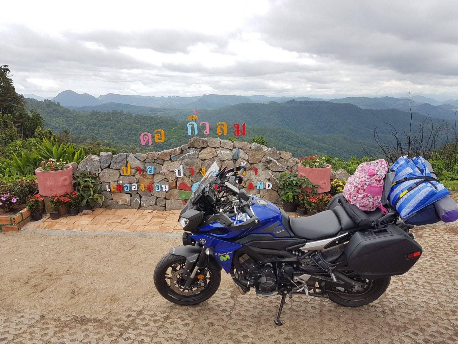
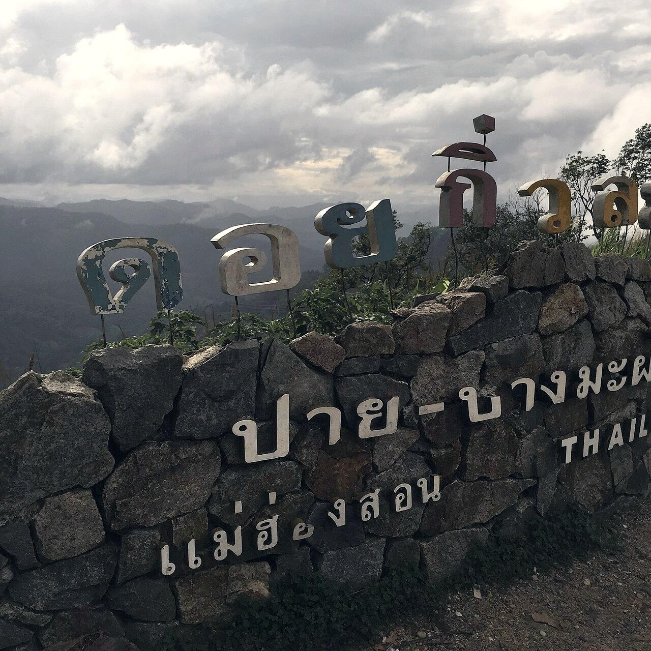
Doi Kiew Lom Mountain Pass (km 132 Viewpoint)
จุดชมวิวกิ่วลม กม. 132
At 1,431 meters, this pass marks the mountain boundary where Pai ridge transitions into the Pang Mapha karst basin.
The highest roadway elevation along Highway 1095 between Chiang Mai and Mae Hong Son. Offers sweeping panoramic views across undulating cloud valleys and features small timber gazebos where travelers pause to let vehicle brakes cool.
Field note: Mornings are brisk; temperatures can drop to 10°C in winter. Check tire pressures here.
Route 1095 km 132 · Verified 2026-08-15View on Map
Cave · Nature
Tham Coral (Mae Lana Crystal Cavern)
ถ้ำปะการังบ้านแม่ละนา
A delicate wild limestone cave containing pristine white aragonite crystals and calcite flowers.
Tucked into the northern limestone ridges above Mae Lana village. Unlike tourist-developed caverns, Tham Coral remains preserved in its wild state with fragile mineral formations resembling undersea coral reefs.
Field note: Must hire a local village guide from Mae Lana; do not touch crystal surfaces with bare hands.
A Black Lahu roadside hut on Route 1095 selling wild mountain passionfruit, tamarind, and sweet persimmons.
At kilometer 152 where the highway begins its westward descent toward Mae Hong Son. Lahu farmers bring seasonal wild forest fruits gathered at dawn from mountain ridges.
Field note: Wild mountain honey is also sold here in recycled glass bottles at honest local prices.
Route 1095 km 152 · Verified 2026-08-13View on Map
Village · Rhythms
Ban Bor Krai Highland Ridge
สันดอยบ้านบ่อไคร้
A traditional high-altitude Black Lahu settlement known for mountain mist, corn drying yards, and quiet walking paths.
Perched 3 km north of Ban Ja Bo along the unpaved forest track. Traditional split-bamboo homes stand on stilts against sheer rock walls where wild mountain birds nest.
Field note: Road requires careful driving or 4WD during wet months; walk in on foot if muddy.
Organic arabica shade-grown under the teak forest and roasted in small clay pots over charcoal.
Tucked inside the Karen community of Ban Muang Pam. Uncle Dam hand-picks cherries from highland shrubs and brews thick, aromatic drip coffee served in bamboo cups on his wooden veranda.
Field note: You can purchase freshly roasted whole beans packed in simple craft paper bags.
A narrow timber suspension bridge built by Karen villagers across the rocky riverbed to reach upland garlic fields.
Spanning the rushing Huai Pha creek with thick steel cables and hand-planed teak planks. Swings gently as you walk across while mountain swallows dart across the water surface below.
Field note: Single-file pedestrian crossing only; bicycles and small bikes should be pushed across.
A peaceful Lisu mountain hollow surrounded by fruit orchards, seasonal plum blossoms, and sweet mountain streams.
Tucked 5 km south of Route 1095 in a protected geological bowl. In January and February, the surrounding slopes turn pale pink with wild Himalayan cherry and plum blossoms.
Field note: A quiet riding route with virtually zero vehicular traffic.
Where an underground mountain river surges out from the base of a vertical karst cliff into a turquoise pool.
A hidden geological feature south of Ban Huai Pha. The water emerges with immense pressure from a submerged cavern entrance, creating a natural limestone pool bordered by giant wild ferns.
Field note: The pool is deep; swimming is only recommended for strong swimmers and never during monsoon swells.
Slow-cooked rice congee simmered with ginger, soft poached egg, and Shan herbs right beside the river.
Served from an earthen clay pot on wooden tables beside the Nam Lang bridge in central Soppong. Opens at 05:45 as village monks walk by on morning alms rounds.
Field note: Add crispy deep-fried dough sticks (pa thong ko) from the neighboring stall.
Soppong Riverside · Verified 2026-08-15View on Map
Road · Geology
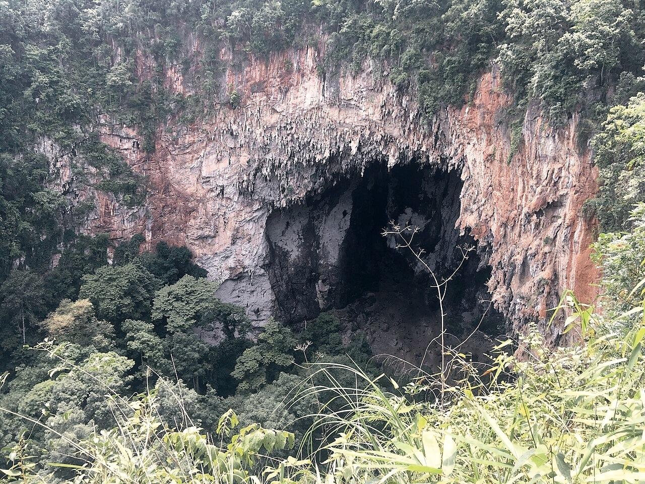
Karst Sinkhole Lookoff km 149
จุดชมหลุมยุบหินปูน กม. 149
A dramatic geological lookoff where Highway 1095 curves around a colossal natural limestone doline.
The roadside pullout looks straight down into a 120-meter deep forested sinkhole. Cool subterranean air currents rise from the bottom of the pit, generating localized vapor clouds in the morning.
Field note: A paved turnout allows two cars or several motorbikes to park safely off the highway.
Route 1095 km 149 · Verified 2026-08-14View on Map
Village · Nature
Ban Mae Umong Bamboo Valley
หุบเขาไผ่บ้านแม่อุมง
A secluded Red Lahu settlement framed by sheer karst pinnacles and towering wild bamboo stands.
Located 6 km northeast of Tham Lod along a quiet dirt road. The village maintains traditional bamboo aqueducts bringing spring water from high limestone clefts straight into residential kitchens.
Field note: A wonderful walking route for observing traditional bamboo watercraft and hydraulics.
The northernmost ridge community in Pang Mapha overlooking dramatic mountain views across the border.
Perched at 1,050 meters on the northern crest of Tambon Na Pu Pom. The high elevation provides crisp air year-round and uninterrupted views over Myanmar border mountain ranges.
Field note: Dress warmly; wind speeds pick up significantly after 16:00.
A rust-colored ferric limestone outcrop with panoramic vistas across the Nam Lang river basin.
Rises 150 meters above the Ban Tham valley. Prehistoric rock art fragments and iron oxide stains streak the limestone facade, which glows deep crimson in early morning light.
Field note: A 20-minute trail leads to the lookout; wear sturdy footwear with good rubber grip.
A traditional local steam bath infused with camphor, wild lemongrass, and mountain turmeric to soothe tired muscles.
Located on the quiet western fringe of Soppong village. Heated by outdoor wood fires, natural steam infused with ten indigenous forest herbs fills small wooden aroma chambers.
Field note: Ideal after a long day of motorbike riding over the 480 mountain curves.
Where local bamboo rafters tether long rafts in clear river currents before entering the Tham Lod river portal.
Situated on the pebbled riverbank 200 meters before the mouth of Tham Lod cave. Hand-lashed rafts made of six to eight thick bamboo trunks float gracefully on the emerald water.
Field note: Local rafter guides take turns in a cooperative roster supporting village families.
Tham Lod Entrance · Verified 2026-08-15View on Map
Village · Agriculture
Ban Mae Rumat Organic Paddy Creek
ลำห้วยนาข้าวบ้านแม่ละม้าด
A gentle rural creek where Shan farmers tend emerald wet-rice terraces beneath morning mountain mist.
Tucked into the peaceful southern corner of Pang Mapha. Small wooden waterwheels lift mountain creek water into terraced rice plots bordered by banana palms.
Field note: The light between 16:30 and 17:45 casts long golden reflections on the water terraces.
The pristine natural karst springs high in the eastern mountains that feed the entire Nam Lang river system.
Deep in the northeastern forest watershed of Tambon Tham Lod. Multiple crystalline springs bubble up through moss-covered limestone boulders, forming the source of the river that carves Tham Lod.
Field note: A sacred headwater zone protected by the local community forest agreement.
Eastern Headwaters · Verified 2026-08-10View on Map
View · Sunset
Mae Lana Sunset Karst Amphitheater
ลานหินปูนยามเย็นแม่ละนา
A natural limestone amphitheater above the village where the setting sun turns the vertical rock face fiery orange.
Located on the western trail climbing out of Mae Lana village. The vertical limestone cliff acts as a giant natural reflector, glowing in intense ochre tones for twenty minutes before dusk.
Field note: Bring a flashlight for the 15-minute downhill walk back to the village after sunset.
A quiet Buddhist cave sanctuary tucked into the limestone karst forest of Ban Rai, where natural cavern halls serve as meditation spaces.
Located at Plus Code G5HV+5HH in Pang Mapha near Ban Tham Ban Rai. Wat Tham Meywadi Wanaram nestles directly against a monumental limestone outcrop. The temple compound opens into peaceful natural cave chambers with sacred Buddhist shrines, shaded forest walkways, and a deep atmosphere of meditative stillness far from tourist thoroughfares.
Field note: Dress respectfully covering shoulders and knees. Keep voices quiet as monks practice silent meditation in the cave halls.