
Pai to Pang Mapha (Soppong)
A practical route and transport guide for navigating the mountain pass with ease.
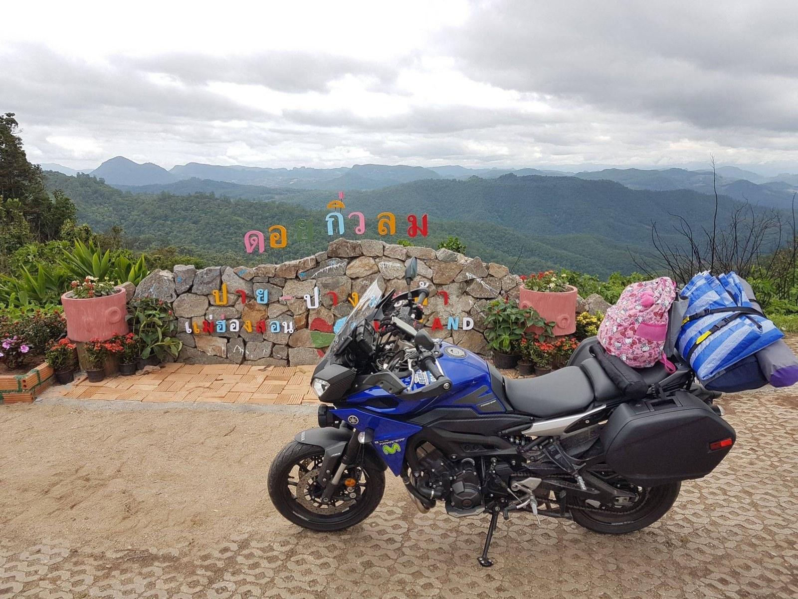
The Road and Terrain
High mountain pass climbing over the Pai-Pang Mapha ridge (elevation 1,450m) before descending into the karst limestone basin of Soppong. Smooth asphalt, two lanes, consistent guardrails, and steep switchbacks.
Transport Options
Public Air-Con Minivan (Prempracha)
Minivans operate regularly from Pai Bus Station to Mae Hong Son, halting at the Soppong 7-Eleven. Advance booking recommended during cool season (Dec - Jan).
Rented Scooter (125cc+)
Requires mountain riding confidence. Test brakes before departing Pai. Fill fuel tank in Pai; fuel is also readily available in Soppong.
Private Car / Waykeeper Transfer
Allows stopping at Doi Kiew Lom Viewpoint and roadside fruit stands at leisure without riding stress.
Keep to your lane on blind mountain corners. Shift down to lower gear (Gear 2 or low drive) on steep downhill sections to avoid brake overheating. Morning mist can reduce visibility between 06:00 and 08:30.
The Pai to Pang Mapha ridge pass is one of the most twisting stretches of Route 1095. Travelers prone to motion sensitivity should sit in the front passenger seat or take anti-motion medication 30 minutes before leaving Pai.
Public minivans accommodate normal backpacks and medium luggage in rear racks. Extra large bags may require purchasing an additional seat space.
Stops Worth Understanding
Doi Kiew Lom Viewpoint (ดอยกิ่วลม)
Panoramic rest area at the summit with sweeping views of the Pai valley to the east and the jagged Pang Mapha karst peaks to the west. Clean restrooms and hot local Shan tea stalls.
Lisu Roadside Fruit & Craft Stands
Seasonal highland avocados, passion fruit, fresh wild honey, and hand-embroidered shoulder bags.
Soppong Town Junction
Junction where Route 1095 meets the 8.5 km spur road leading north to Tham Lod.
Onward Connections
From Soppong, continue west 65 km to Mae Hong Son town or take rural roads north to Tham Lod (15 mins) and Ban Ja Bo (25 mins).
Related Places, Routes & Guides
Need a ride or route confirmation?
No registration needed. Ask our desk directly about private car bookings, driver transfers, or current road conditions.