
Pang Mapha District
The limestone basin and mountain corridor between Pai and Mae Hong Son.
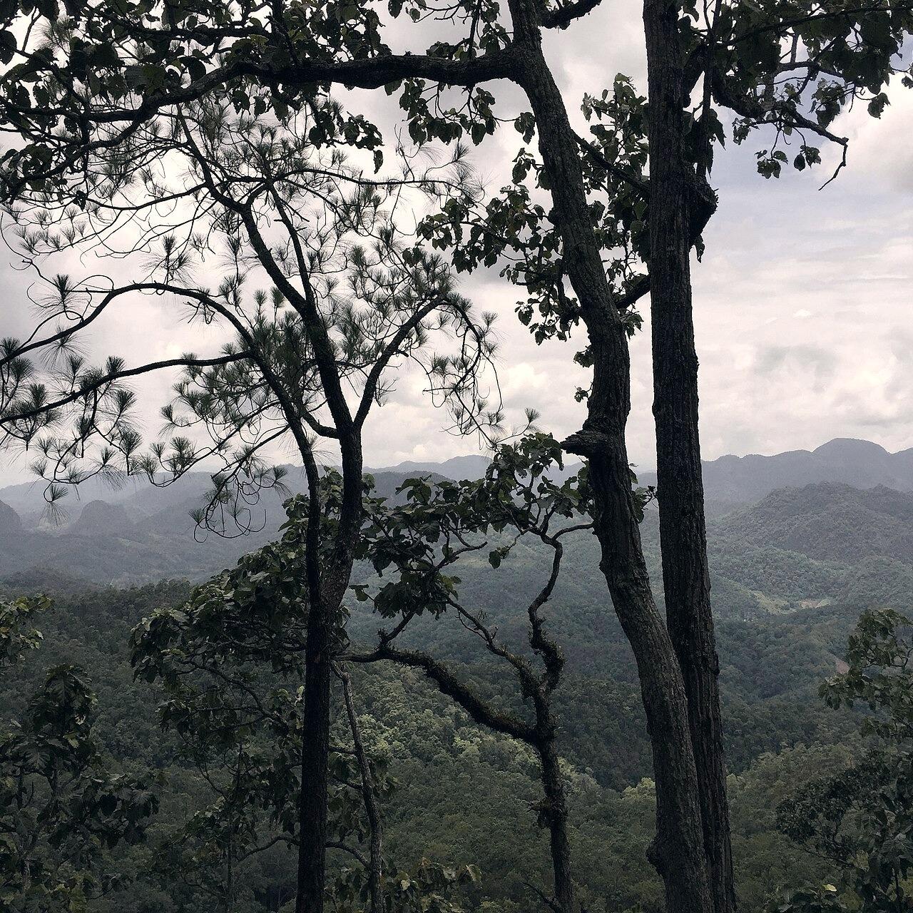
About Pang Mapha District
Pang Mapha is a quiet mountain district in northern Mae Hong Son province, situated 42 kilometers west of Pai and 65 kilometers northeast of Mae Hong Son town along Highway 1095. Defined by towering karst topography, sinkholes, river caves, and Shan, Black Lahu, and Red Lahu settlements, it is the geographic center of gravity for travelers seeking quietude, cave exploration, and unhurried northern roads.
The Real Appeal
To experience northern Thailand's most dramatic karst caves (including Tham Lod), misty ridge villages like Ban Ja Bo, and an authentic highland road culture untouched by mass tourism.
What It's Actually Like
Quiet, agrarian, and unhurried. Traffic thins out substantially once you pass the Pai viewpoints. The central hub is Soppong: a two-street market town with wooden shopfronts, local soup stalls, and transport junctions. Surrounding valleys are blanketed in dense jungle, limestone crags, and morning river mist.
Field Intelligence & Access
- Canonical Name
- Pang Mapha (ปางมะผ้า)
- Alternate Names
- Soppong District, Amphoe Pang Mapha
- Time Needed
- 2 to 3 days recommended for unhurried cave exploration and ridge walks.
- Opening Hours
- Open year-round
- Fees & Guides
- No district fee; individual caves (like Tham Lod) charge entry and local guide fees.
- Last Checked Date
- 2026-08-10
Access Notes
Accessed via Highway 1095. The mountain pass from Pai contains 480 continuous curves over 42 km. Paved throughout with asphalt, but requires careful gearing on steep descents.
Available Modes of Travel
- Prempracha public minibus (Chiang Mai - Pai - Mae Hong Son route)
- Local songthaew from Pai or Mae Hong Son
- Private driver / Waykeeper transfer
- Rented scooter (125cc+ recommended) or car
November - February is cool and misty with clear blue skies (10°C - 26°C). June - October (Rainy season) is lush, rivers flow high, and karst peaks are cloaked in emerald vegetation. March - April can experience smoke from regional clearing.
Ideal for slow travelers, cave enthusiasts, nature lovers, photographers, and independent road trippers seeking peace away from Pai's tourist strip.
Related Places, Routes & Guides
Planning a visit to Pang Mapha District?
Ask our local operator for current trail conditions, driver bookings, or timing advice.