
Pai to Pang Mapha: Road Conditions, Timing, and Transport Options
Clear, practical transport details for traveling the 42 km from Pai to Pang Mapha by public minivan, rented scooter, or private transfer.
How do you get from Pai to Pang Mapha (Soppong)?
You can travel 42 km from Pai to Pang Mapha via Highway 1095 in about 1 hr 15 mins. Options include the daily Prempracha public minivan (~100 - 150 THB), rented scooter (125cc+ recommended), or private transfer arranged through Waykeeper.
1. The Road and Curve Profile
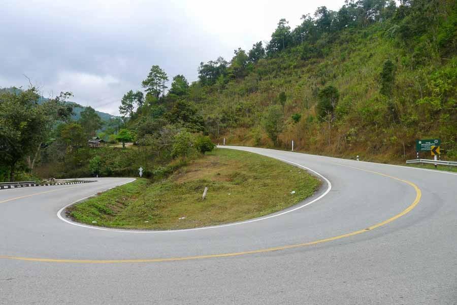
The 42-km stretch between Pai and Soppong contains 480 mountain curves. It begins with a steady 20-km climb out of the Pai valley up to Doi Kiew Lom pass (1,450m), followed by a 22-km descending switchback run into Soppong (650m). The road is fully paved asphalt in good condition with standard roadside markers.
2. Public Minivan (Prempracha)
Prempracha operates air-conditioned minivans between Pai bus station and Mae Hong Son multiple times daily. Tickets to Soppong cost roughly 100 - 150 THB. The minivan drops passengers right at the Soppong 7-Eleven on the main highway.
3. Riding by Scooter or Motorcycle
A 125cc or larger scooter in good mechanical order handles the climb comfortably. Check both front and rear brake pads before departing Pai. On the descent into Pang Mapha, pump brakes intermittently rather than riding them continuously to prevent brake fluid fade.
Questions & Local Clarifications
Is the road between Pai and Pang Mapha scary to ride on a scooter?
It is winding and steep in parts, but wide, well-paved, and carries far less traffic than the Chiang Mai to Pai leg. Confident riders find it enjoyable.
Related Places, Routes & Guides
Have a question about this guide?
Our local desk is on the ground in Pang Mapha. Reach out on WhatsApp or Instagram for specific route or booking questions.