
Driving the Mae Hong Son Loop Through Pang Mapha: The 1,864 Curves Highway
A complete guide to navigating Route 1095 through the Pang Mapha karst heartland as part of the famous 600-km Mae Hong Son Loop.
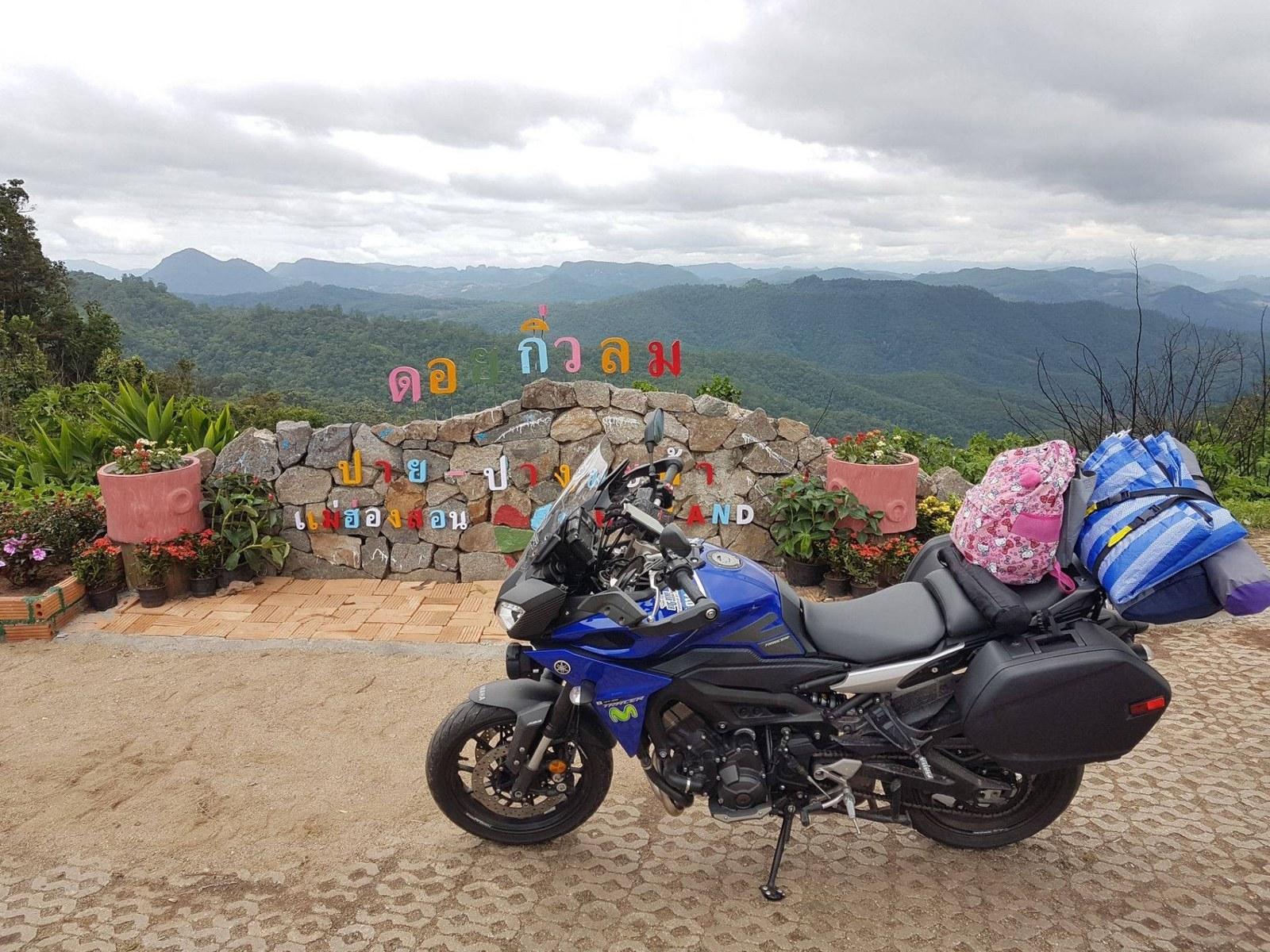
Where does Pang Mapha fit into the Mae Hong Son Loop?
Pang Mapha sits directly at the midpoint of the northern leg of the Mae Hong Son Loop on Route 1095, between Pai and Mae Hong Son town. It is the natural overnight hub for breaking up the 1,864 curves with world-class caving and mountain scenery.
1. The Northern Leg of the Loop
The standard Mae Hong Son Loop travels clockwise: Chiang Mai -> Pai (135 km, 762 curves) -> Pang Mapha (42 km, 480 curves) -> Mae Hong Son (65 km, 622 curves) -> Mae Sariang -> Chiang Mai. Pang Mapha represents the highest karst relief and most dramatic mountain passes of the entire 600-km circuit.
2. Why Stay in Pang Mapha Instead of Rushing Through
Most riders hurry between Pai and Mae Hong Son in a single day, missing the subterranean wonders of Tham Lod and the mist ridges of Ban Ja Bo. Allocating an overnight stay in Soppong transforms a grueling ride into an unforgettable highland journey.
Questions & Local Clarifications
What motorcycle is best for the Mae Hong Son Loop?
A 150cc scooter (like Yamaha Aerox or Honda Click 150) or 250cc - 500cc adventure bike (Honda CB500X) is ideal for the climbs and curves.
Related Places, Routes & Guides
Have a question about this guide?
Our local desk is on the ground in Pang Mapha. Reach out on WhatsApp or Instagram for specific route or booking questions.